Trimble is now offering a sophisticated new drone package called Trimble Stratus, through the firm’s partnership with drone-mapping and analytics company Propeller Aero. According to Martin Wagener, worldwide product implementation manager for the firm, the system allows the user to employ any type of commercial quality drone.
The important part of the package is the Aeropoint, a small flat plate developed by Propellor. This is placed on the ground and acts as a point of reference for all of the drone’s ge
April 26, 2018
Read time: 2 mins
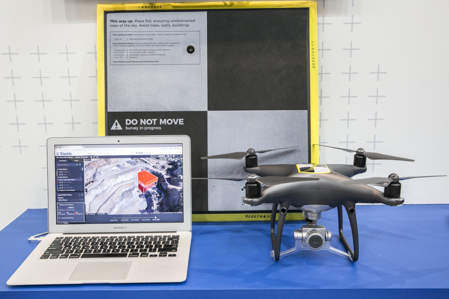
Trimble’s new drone offering can deliver accuracy and versatility
2122 Trimble is now offering a sophisticated new drone package called Trimble Stratus, through the firm’s partnership with drone-mapping and analytics company
8779 Propeller Aero. According to Martin Wagener, worldwide product implementation manager for the firm, the system allows the user to employ any type of commercial quality drone.
The important part of the package is the Aeropoint AeroPoint, a small flat plate ground control point developed by Propeller Aero that makes drone data survey-grade and works with any GPS enabled device. This is placed on the ground and acts as a point of reference for all of the drone’s geolocated images and measurements. The plate features integral GPS and wireless connectivity.
The package allows a user to get a comprehensive overview of a project or working area. “You upload all of the pics onto the online Trimble Stratus package and it stitches all the images together to form a digital terrain model. A few hours later you get full pointcloud models from Trimble,” said Wagener.
Wagener explained that it requires minimal training to operate, with the complex image data handling task offered as a service by Trimble Trimble Stratus, or its SiTech SITECH dealer network, for the customer.


