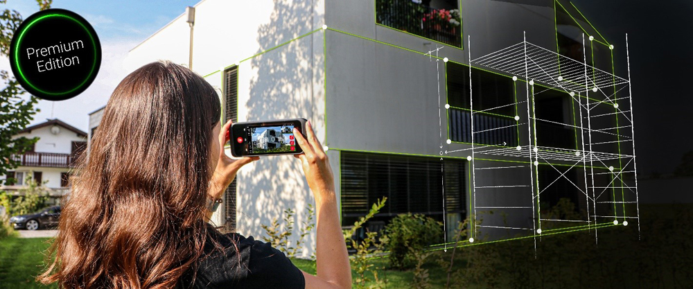
The firm says that its new handheld imager now offers twice the operating range of the previous variant. In-picture measurement accuracy has also been improved for indoor and outdoor applications.
Users benefit from new guidance and accuracy indication features that allow them to optimise the capturing process to achieve high measurement accuracy. This is achieved by significantly enhancing BLK3D image processing algorithms alongside workflow adaptation which allows for capturing multi-shots with up to four shots. The BLK3D Update is rolled out with the new BLK3D Mobile and Desktop software version 3.0. BLK3D with Publisher license enables collaboration amongst teams, providing accessibility to 3D images using the cloud. Measurements can be created and shared on mobile devices such as smartphones and tablets across project teams.
The firm says that it designed BLK3D mobile and desktop 3.0 for users starting their journey into digitalisation and digital experts that have already been working in the area for some time. The unit provides increased accuracy, longer range and added functionality, allowing users to make their work more efficient, effective and productive according to the company.


