Drivewyze has partnered with one.network to improve the quality of data regarding work zones and lane closures that are provided to US state transportation agencies.
The company one.network is a road management and work zone data technology provider. Drivewyze, a transportation technology company, provides solutions for commercial vehicle fleets, drivers and transportation infrastructure owners and operators.
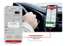
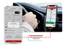
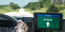
With the partnership, one.network data is extended into Drivewyze’s connected truck network via in-cab alerts to improve roadway safety.
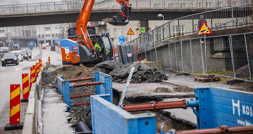
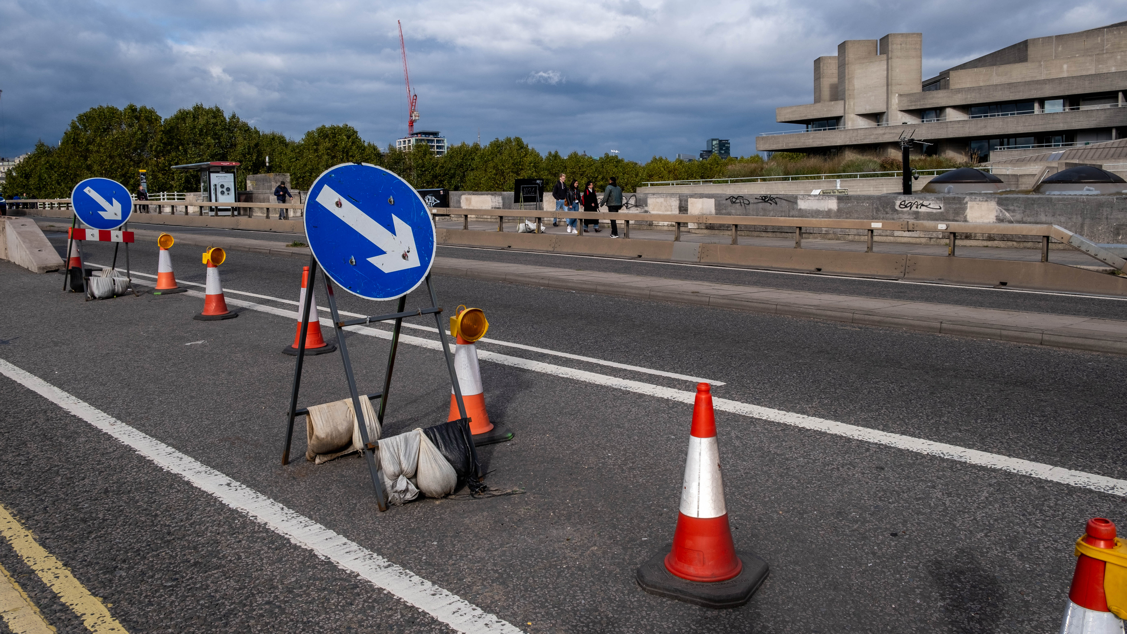
The platform from one.network manages and shares lane closure, work zone and roadway disruption information with GPS providers, which can now be displayed in commercial motor vehicles through the Drivewyze platform. This gives drivers with a “heads up” to upcoming lane closures and work zones allowing time to slow down or take an alternative route. With this platform, state transportation agencies can also manage their work zone and lane closure information directly through one.network’s Live Link application.
To disseminate this data, one.network’s data feeds can be pushed to passenger vehicles and smartphone applications via popular GPS providers and routing apps and now, through this partnership, to Drivewyze’s network of cross-platform connected trucks.
“With this partnership, Drivewyze can extend these work zone and lane closure safety programmes into commercial motor vehicles, offering state agencies a unique one-to-many reach across the regulated and, historically, fragmented trucking industry,” said Brian Heath, chief executive of Drivewyze.
Truck drivers receive Drivewyze safety notifications free of charge through Drivewyze’s partner network of in-cab telematics and electronic logging devices. “This is the first holistic approach to lane closure and work zone management that addresses data quality, vehicle reach, and impact on driver behaviour,” said Heath.
In addition to in-cab alerts, fleets can use the one.network dashboard to see where lane closures are planned in the hours ahead. “This mapping helps fleets work in advance, especially in their major lanes of transport,” said Heath.


