An array of new software tools will deliver greater efficiencies to construction companies – Mike Woof writes
Sophisticated software systems are delivering advanced solutions to traditional construction tasks. Key developments have been made by major players in the sector, such as
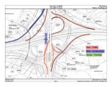
From Bentley comes a new package that will help road construction activities in urban areas featuring a heavy concentration of underground utilities. This new package forms part of the firm’s OpenRoads software and is said to bring together data from multiple sources and geo-coordinates it for subsurface 3D modelling. Using this interactive inspection tool, designers and contractors can benefit from efficient clash resolution techniques. Called Subsurface Utility Engineering (SUE), this package can be used to generate high-fidelity, 3D feature-based models of the buried construction zone. The SUE software is said to mitigate the risks of building in utility-congested underground environments. The package helps avoid costly delays to damaged subsurface utilities, as well as improving safety. The SUE software automatically creates 3D models from survey information, CAD data, GIS, Excel spreadsheets, Oracle databases, and other industry standard sources of information. In addition, it maintains a relationship between CAD and GIS utility sources and tracks civil features to ensure data is synchronised and up to date. Users can identify and resolve conflicts between new construction features and existing utilities during design, lowering project costs. The firm says that SUE also enables immersive modelling as users can combine active plan, profile, and cross-section views with 3D modelling technology, easing decision making. The intelligent 3D modelling capabilities meet the US
Fugro Roadware says that its Vision 2.2 processing and analysis software offers an efficient tool for viewing, processing and understanding pavement management data faster than before. This new release adds even more powerful features and time-saving improvements to the existing platform. Vision can now display collected data for the entire road network at once on a built-in map. To work through terabytes of incoming data, Vision 2.2 includes distributed processing support that turns networked workstations into a distributed processing cluster. The Vision package means a user does not have to choose between efficient processing and customised processing to meet specifications. A new 64-bit version of the Batch Processor is said to help take full advantage of available hardware and memory. These improvements reduce the time required to process data, giving users more time to analyse results.
The WiseCrax2D module now includes an improved, automated incremental detection algorithm. The WiseCrax3D module can now automatically detect potholes, ravelling, kerbs, drop-offs and faulting with severity levels and displays them in a visual format together with the cracking data super-imposed on the 3D pavement images. Vision solves another challenge by offering more effective year-to-year comparisons. Instead of manually segmenting each section, Vision 2.2 uses advanced auto-matching algorithms to merge collected data with the road network using high-accuracy GPS. Vision can automatically splice together multiple collection runs into one final data set, reducing the need for costly reruns in the field. For clients with large numbers of VisiData installations, the firm is offering a solution to move to the web-based iVision software. The Export to VisiData option allows for a phased implementation approach where end users can continue to use the tools they are most familiar with.
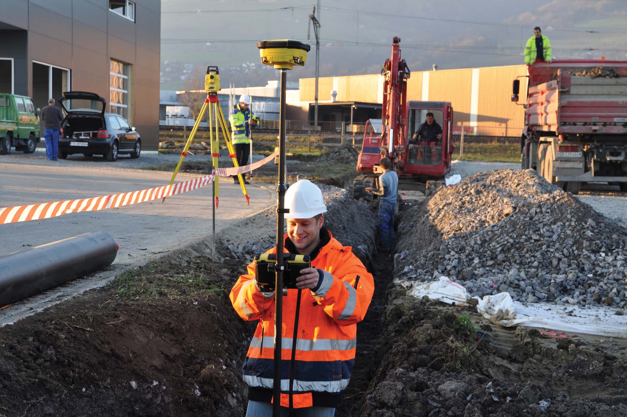
Meanwhile completing positioning tasks is said to be easier and quicker with the new Leica iCONstruct Field v2.0 package. Leica Geosystems says it has added features to the iCONstruct field software for tailor-made positioning and measuring solutions in construction. With its new 3D viewer, better visualisation capabilities and increased functionality, the iCONstruct field v2.0 improves and optimises workflows for personnel, increasing productivity and efficiency.
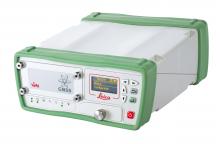
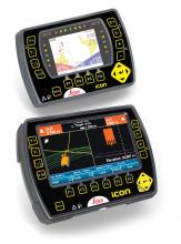
Leica iCONstruct field v2.0 software is used throughout the entire iCONstruct portfolio with products such as the Leica iCON CC55 and CC65/66 field controllers, all Leica iCON sensors, the recently released iCON builder 60 and robot 60 total stations, as well as with mobile checking from pick-up vehicles. A variety of new features creates clear benefits for users, simplifying many tasks in the building & construction industry for engineering and infrastructure applications and BIM.
The new software version of Leica Geosystems’ iCONstruct features the firm’s advanced 3D Viewer, which displays projects in 3D, enabling clash detection, project and surface inspection. This tool also allows project views from any angle. Using smart controls, users can also pick out layout points straight from the 3D model. Triangles used for meshing slope surfaces of stockpiles, pits and dams can now include shading on surfaces so that users can better visualise situations on-site.
Additionally, site personnel can quickly check heights of construction terrains from vehicles as long as they have an iCON antenna installed on the roof. The Foreman View tool is available for use inside a vehicle and displays cut and fill values on a screen.
Checking built structures on-site is said to be easier as users can choose between control radial, polygonal distances, angles and also plane and tilted areas to achieve results quickly and check shapes against the design. With Leica iCONstruct v2.0, GNSS users can also increase measurement efficiency in obstructed areas. They can receive positions where none were available before and also receive up to 10cm better accuracy of positions taken under difficult conditions. xRTK is also available for Machine Control applications.
The new iCON telematics option connects to layout crews in the field and allows online file exchange and remote support. This web-based suite seamlessly integrates with workflows on construction projects and with Leica iCON solutions, simplifying work processes and enabling significant time and cost savings. iCON gps 60 users are offered a single SIM card solution and can use the controller modem for telematics and network corrections, saving on investments and reducing system complexity.
iCONstruct v2.0 also provides a cross section in its cut and fill application. Cross sections can be defined, based on the walking path or towards a reference line such as foundations, which require a specific elevation for height reference. This specific height can be typed in by users or selected from a list. The GPS height transfer allows setting all heights for an entire project, while the created localisation can be used with iCON 3D as well.
iCONstruct field v2.0 provides various other features that speed up productivity on-site such as the corridor function within the Roading application that allows users to set values on each side of the centreline in order to define the corridor. The next stakeout point functionality is said to save time and efforts by automatically selecting the nearest stakeout point, while some user defined point attributes can be exported as DXF. In addition, the new DXF import clean-up helps to reduce file sizes and purge unused elements of CAD drawings while exact surface topology break and boundary lines can be created and edited.
And from the Topcon Positioning Group comes the MAGNET Field GIS software kit designed for efficient data collection, navigation and maintenance tasks. This field data collection software is said to offer useful data sharing capabilities according to the firm. Using the cloud, MAGNET Field GIS can send and receive data via a company’s MAGNET Enterprise account, allowing professionals in the field greater productivity while eliminating the need to drive to and from an office to deliver collected data.
The company claims the package can recognise and adapt to a user’s surroundings, providing an efficient data collection solution whether in an urban area within a GNSS network or in a rural setting with a DGPS connection. The software package also includes features such as

