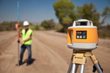
RTP-300 is
Data collection is achieved using a Topcon GNSS dual-constellation satellite receiver system, three laser profilers, wheel encoder technology and a comprehensive computer data collection system.
The RTP-300 system can be installed onto any vehicle with a tow hitch, making it a mobile surveying vehicle that generates a higher resolution topography map than conventional surveying methods in a fraction of the time and with superior accuracy.
In addition to producing high-resolution topography maps, the RTP-300 system is capable of producing industry standard reports such as PRI and IRI.
The corrected design data can be used on a paver, profiler or any machine control system to provide exact road data at every step of a construction project. New surfaces can be scanned during construction with data processed for instant reporting, surface verification and ride-ability indexing.
%$Linker:
Hall: 5A Stand: J111
Outside: E7 Stand: E002
%$Linker:


