Kingston upon Hull, usually abbreviated to Hull, is a sea and river port city of around 260,000 people in north-east England. It sits upon the River Hull at its confluence with the Humber Estuary and is about 40km inland from the North Sea. As such, it is home to many deep-sea container terminals and important vehicle ferry services to and from Rotterdam.
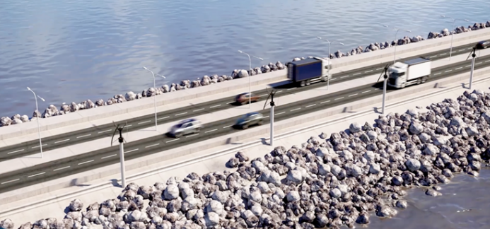
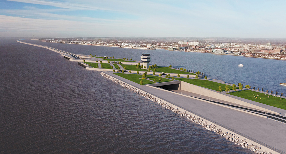
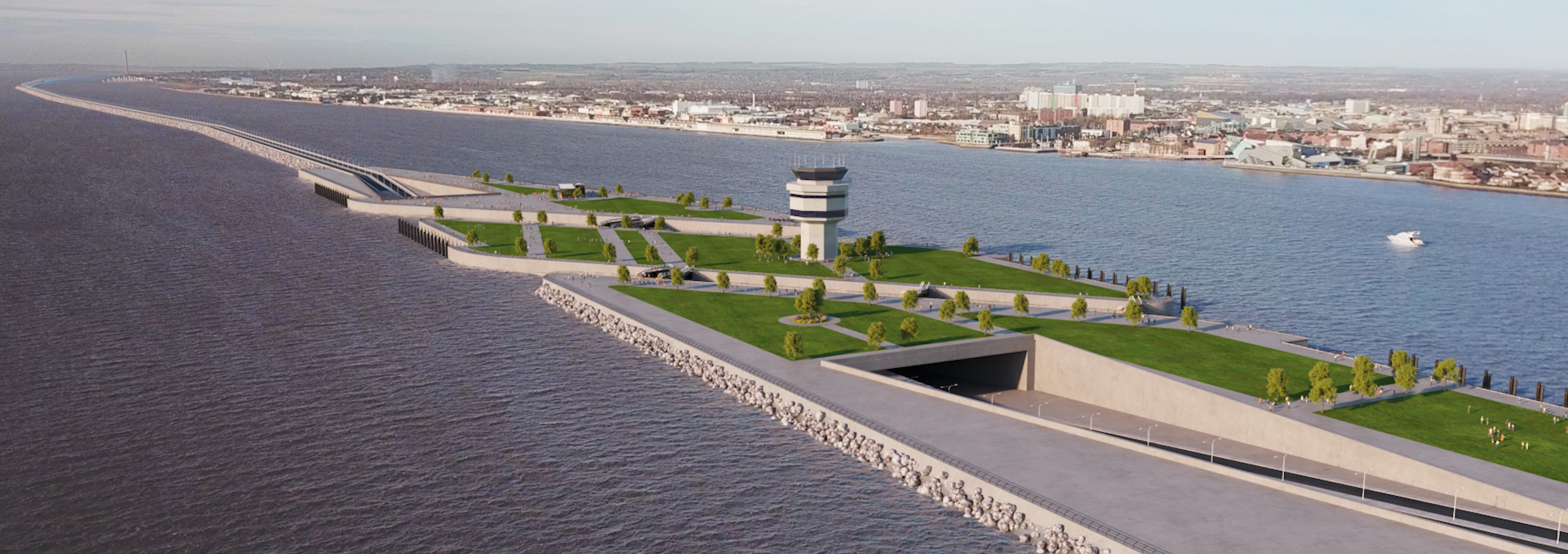
Under the Lagoon Hull project, a free-flowing route – relieving the crowded A63 - would run for 9.6km along a causeway with a section under the Humber Estuary. The average river depth of the area is less than 7m. The road would be for traffic from the docks and also the UK’s east coast and Europe to connect with the M62 corridor - the core element of the road plan for the development. The causeway section will also be part of a new flood defence system for the city centre and will create a 5km² lagoon. It is estimated that the four-lane causeway road – basically an A63 bypass – could take up to 46% of traffic from the existing A63 that winds its way along the Humber Estuary bank, through the city and docks.
The strategy is to transform Hull city centre and river frontage from the 2.2km-long, single-span suspension Humber Bridge – 10km from Hull - to Victoria Dock and along the River Hull to the town of Beverley. It would provide a maritime living environment and regenerate the Western Docks. However, development of the final plan could take between five and 10 years with another five years to build the infrastructure, according to LagoonHull, the development agency putting the proposal forward to Hull City Council.
The agency notes that standard construction techniques exist already to complete the lagoon’s road causeway and immersed road sections. The road crossing for the entrance lock could be tunnelled using immersed tube construction rather than the tunnel boring techniques which have proved difficult with the local ground conditions; this technique is also more suited to the marine environment. Except for the two road connections, all of the works would be constructed within the river which will minimise disruption to the city with the majority of materials being delivered by sea.

The agency also notes that the project’s core development and construction costs are estimated to be between €1.2-2.4 billion US$1.3-2.7 billion. This would be shared within a public-private partnership with around a third of the cost being put up by the private sector. Part of the public sector-funded elements would be met by repurposing existing government spending commitments.
National Highways – formerly Highways England – started a major redevelopment of the A63, the Castle Street section used by 47,000 vehicles daily – in March last year. Balfour Beatty is the main contractor for the project, costing around €423 million (US$473 million / £355 million) and which is expected to be finished by 2024/25. Balfour subcontracted the ground engineering to German specialist Züblin Ground Engineering.
Work involves lowering the A63 at the Mytongate junction into an underpass to create a 400m section of dual carriageway in which east-west traffic will run under north-south traffic. The Mytongate bridge over the underpass will consist of 52 11m-long beams weighing six tonnes each; a concrete deck will be poured on top.
In late 2019, a 60m preconstructed pedestrian bridge weighing 1150tonnes was wheeled into position over the A63 as part of phase one of the A63 revamp: the covered and vaulted bridge pedestrians and cyclists to cross over the busy dual carriageway. The bridge is covered by a curving steel canopy and when finished has sheltered viewing balconies at each end.


