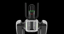
Leica Geosystems, part of the Hexagon Group, has developed an autonomous flying laser scanner. “For the past several years, we have been on a mission to democratise reality capture with the BLK product series, including the BLK2FLY, the world’s first autonomous flying laser scanner,” said Craig Martin, President US/Canada at Hexagon’s Geosystems division.
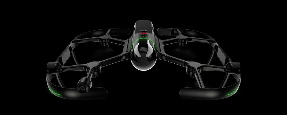
Sophisticated aerial scanning can be achieved with the BLK2FLY unit from Leica Geosystems
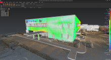
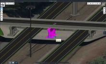
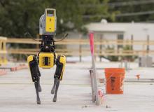
Using a tablet, customers can quickly, easily and accurately capture and scan features and dimensions of sites and structures that would otherwise be dangerous or inaccessible for humans. Advanced obstacle avoidance and the ability to determine optimal scan routes make the BLK2FLY an effective aerial reality capture solution for civil engineering companies. The flying laser scanner documents heavy construction sites with improved accuracy and detail, safety and efficiency.
Booth N12325

